Dredge Report: Army Corps project returns Plymouth Harbor depths to 1967 levels
January 27, 2020 | Rich Harbert | WebsiteUnderwater survey maps chart the completion of the harbor dredging project in paint-by-number clarity.
PLYMOUTH – Underwater survey maps chart the completion of the harbor dredging project in paint-by-number clarity.
Orange, yellow, green, purple, red and blue rectangles on one map mark the dozens of cuts made by Burnham Associates as its dredging crew cleaned out the Plymouth Harbor anchorage basin for the Army Corp of Engineers over the last two years.
Another map with scattered red squiggles shows where dredge captain Ted Augustine and his crew needed to go back and cut down scattered mounds that still remained – a process known as shoaling.
The final map is white, with black numbers indicating the new, improved depth of the anchorage at more than eight feet for the first time in half a century.
The town hadn’t yet built a breakwater when the harbor was last fully dredged, in 1967. Over the last 53 years, natural shoaling has reduced available depths to as little as seven feet in the 18-foot main channel, seven feet in the 15-foot turning basin and just four feet in the eight-foot anchorage.
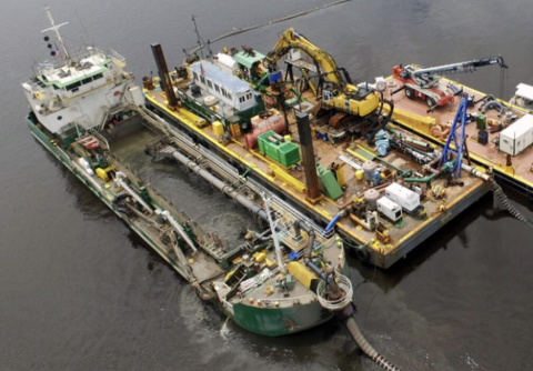
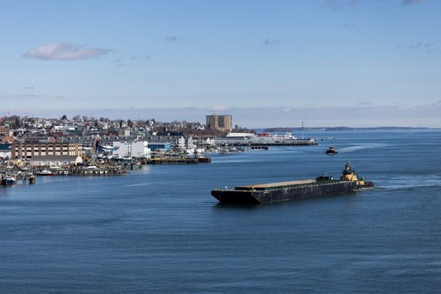
Working in fall and winter the last two years, Augustine and his crew have pulled approximately 385,000 cubic yards of mud and sand from the anchorage behind the harbor’s breakwater and the channel leading out past Plymouth Long Beach.
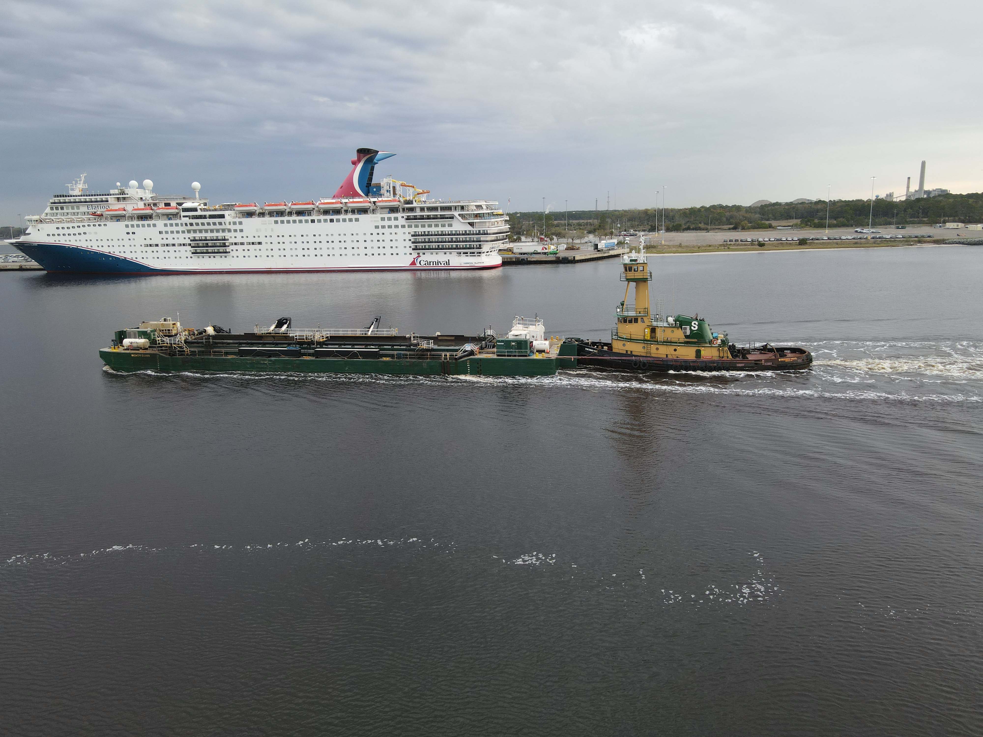
The last bucket load came out of the harbor at 3:45 p.m., Sunday, marking the end to a two-year project that will allow big boats to return to the harbor.